Choropleth map
Choropleth map created using QGIS and ArcGIS online with SDG data sets obtained from the UN open source data hub.
My name is Catalina Álvarez de la Rosa Giráldez. I am a first year student at University College Utrecht majoring in chemistry and molecular biology. This website collects all the maps created throughout the course Geographical Information Systems or GIS (UCSCIEARL5).
Choropleth map created using QGIS and ArcGIS online with SDG data sets obtained from the UN open source data hub.
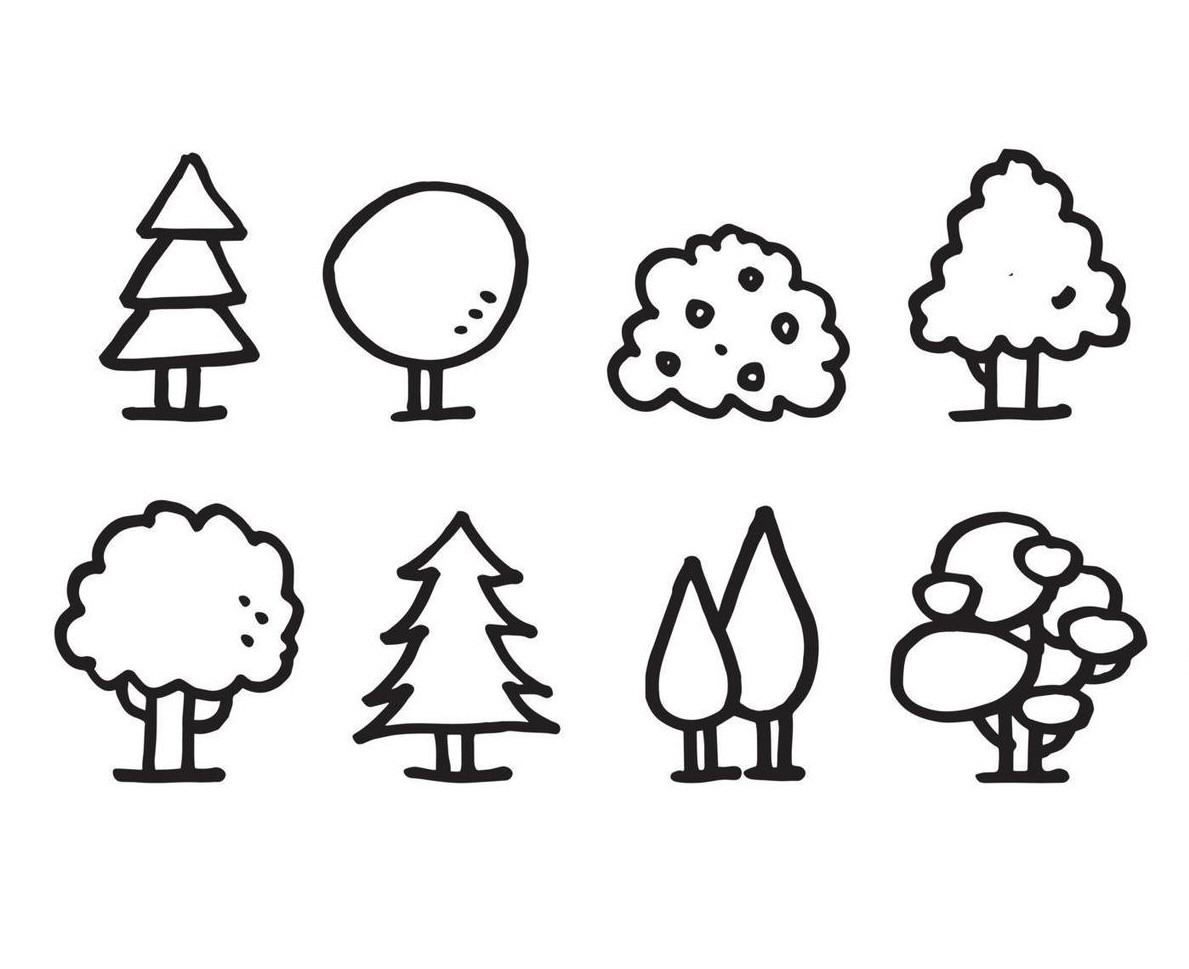
Using information from the bonenkaart of Utrecht, an analysis of the amount of Apple Trees was conducted.
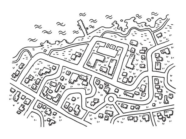
Three methods of Land Classification were used to analyze the area of Utrecht and find out which one is the most accurate.

Making a Relative Elevation Model derived from LiDAR data in order to determine the course of wild rivers in the Netherlands.
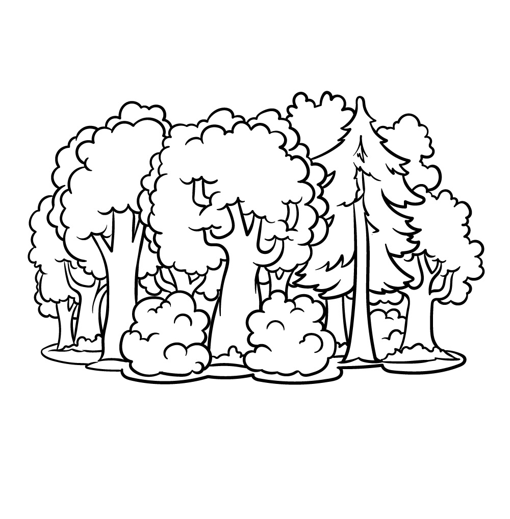
Exploring the number of trees and vegetation in the island of Tenerife in order to determine the amount of carbon sequestration happening in the area.
Using LiDAR data to create an interactive 3D map.