Relative Elevation Model
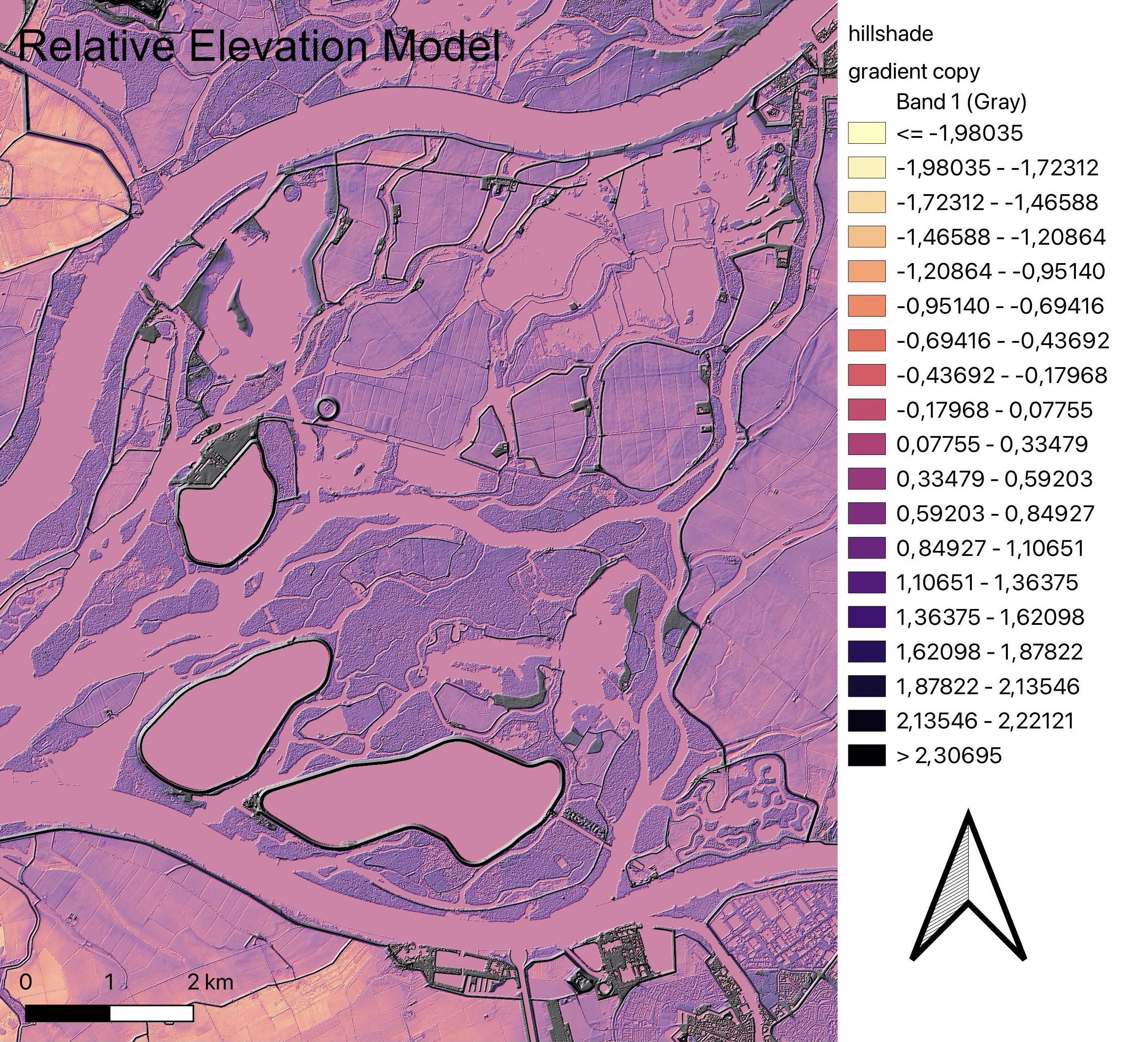
Relative elevation models are used to trace wild river courses. It looks at elevation of the shore and surrounding areas relative to the river itslef, and it develops a map based on this. The image above shows a portion of the river Waal, specifically the one that surrounds the National Park De Biesbosch, mapped using REM.
The information for this area was obtained from GeoTiles (pictured below). Four tiles were chosen and the DTM 1/2 meter data was downloaded for all four. This data was then entered into QGIS, where it was merged and saved as a new layer. By changing the symbology to single symbol pseudocolor and selecting an appropriate colour gradient .
The new layer was duplicated and the symbology on this copy was set to hillshade. With adjustments to the settings such as brightness and contrast, this layer was used to further highlight the elevation between the river and surrounding areas.