Carbon Sequestration
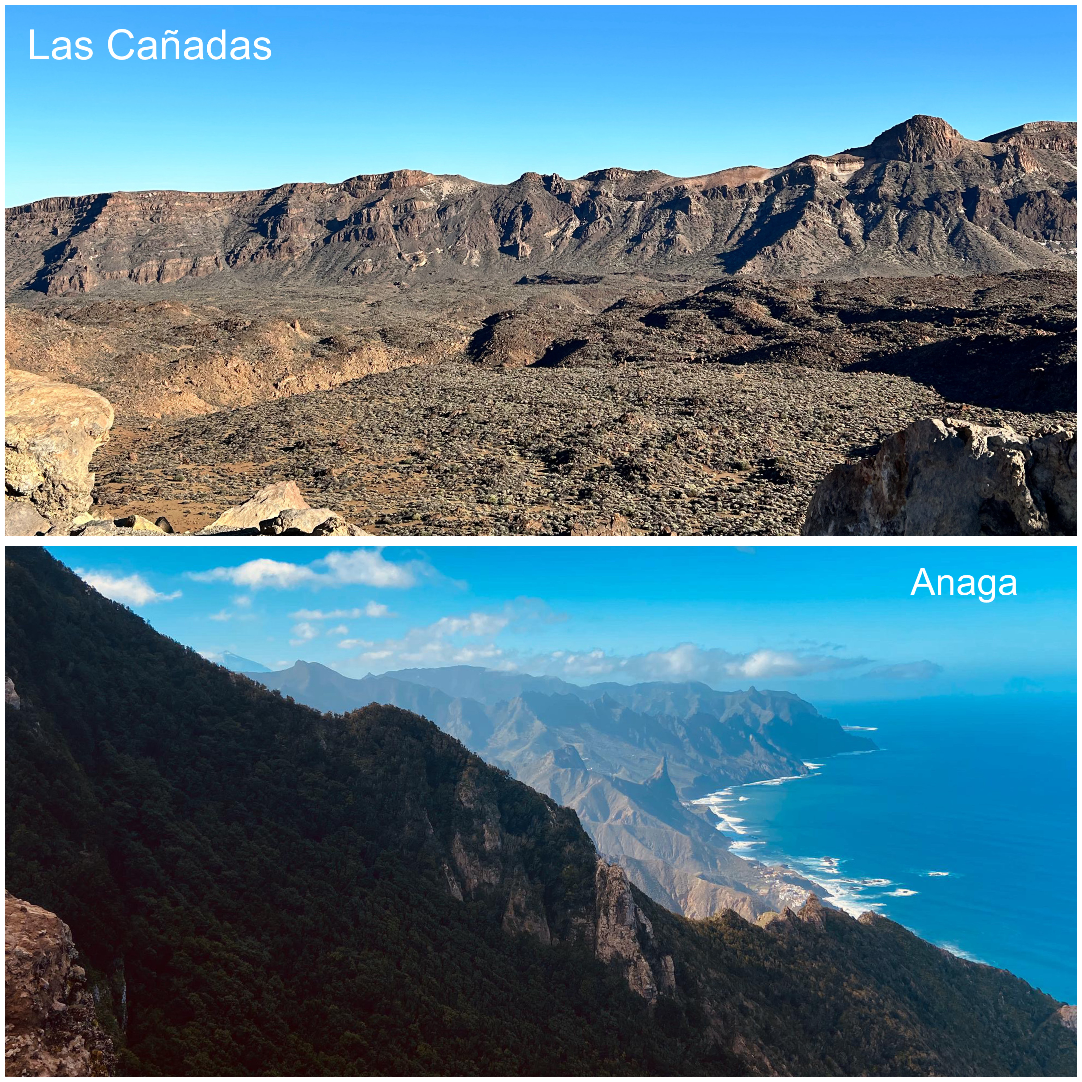
Tenerife is one of the seven Canary Islands. It is located off the coast of West Africa, and it is part of Spain. The Canary Islands have a subtropical climate, with summers where temperatures range anywhere between 25 and 35 degrees celsius and winters with temperatures anywhere between 10 and 20 degrees celsius. One unique trait of the islands and their climate is the presence and importance of microclimates all throughout them. Microclimates are localized athmospheric conditions that differ from their surrounding areas. Due to the mountain ranges, quick changes in elevation and the conection to the Atlantic Ocean's cold waters, these microclimates happen all throughout the islands. This gives place to a wide range of vegetation and landscapes in one single island. Tenerife is a great example of this, as it has areas such as Las Cañadas, a national park with desert-like landscapes, and Anaga, a humid, forest-dense area with miles of greenery.
The north part of Tenerife has extensive forest wonderful for activities such as hikes or picnics. This area was selected using the polygon tool in the program Google Earth Engine (GEE). When the area of interest was selected, the coordinates for longitude and latitude were found. Then, with these in mind, the appropriate GeoTiff for the area was downloaded and added into the code for calculating carbon sequestration. The initial code was edited in order to adjust to the desired area and the run. This resulted in the map found below. It shows high carbon sequestration in the forestal area, while a few blank spots were the city landscapes are. This was expected, since Anaga is a protected area and has nothing but clean and extensive forests.