LiDAR
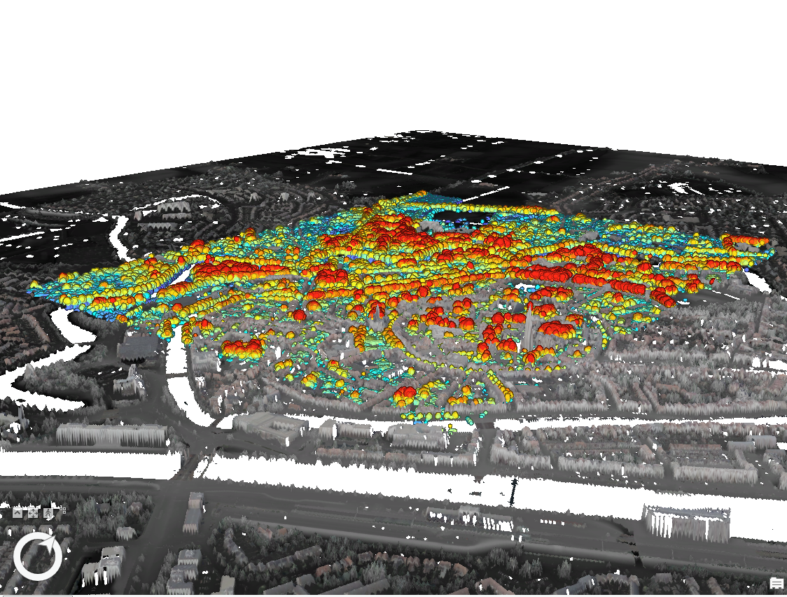
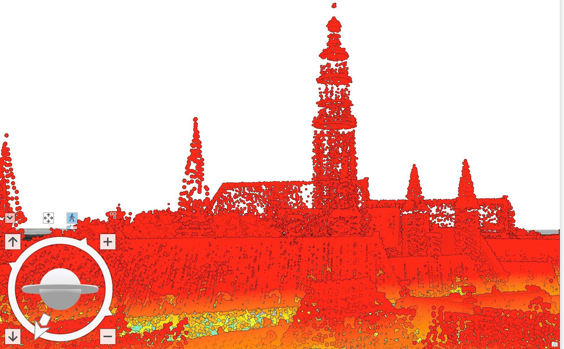
LiDAR data can be used for all kinds of mapping, but for the purposes of this assignment it was used to find the elevation of a part of the city of Middleburg, NL. The data was downloaded from the website GeoTiles, and then added into ArcGIS Pro. This map was at first a 2D map, as the data was imported in a 2D format. However, the desired final result was supposed to be a 3D map, so the view of the initial map was changed to suit these requirements.
The picture above represents the town of Middleburg's different attributes such as trees, buidings and houses. The map is set to depict elevation, so the colors and points represent the different heights of each component. This map was explored using the tools offered by ArcGIS Pro. One such exploration was the measuring of one of the church towers in the city. This turned out to be 167.34 meters. The picture of this measurement is pictured just below.